The hills:
Fountains Fell (668m), Fountains Fell south top (662m) and Darnbrook Fell (624m); a big, boggy slab of three summits looming between Pen-y-Ghent Gill and Cowside Beck. The summit plateau of Fountains Fell is riddled with shake holes and old mine workings so do stick to the waymarked path between the main summit and south top.

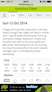
Weather forecast for the Dales from http://www.metoffice.gov.uk
The walk:
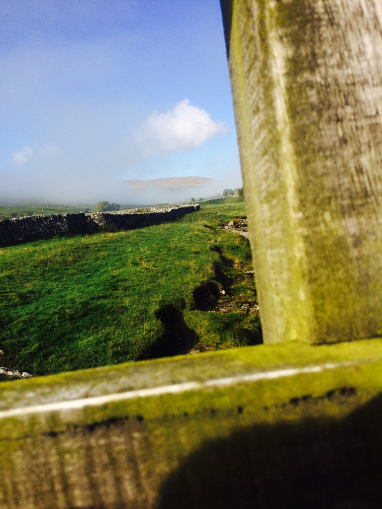
From the pretty village of Litton, I take the bridge over the upper reaches of the Skirfare River. After the dry summer, there is barely a splash of water in the limestone bed of the river – I could have crossed without using the bridge. A few shreds of the forecast hill-fog linger in the valley ahead of me. The fog has burned off far quicker than I anticipated and I am starting to worry about over-heating. The pertex and pile smock I am wearing is right next to my skin; it’s well ventilated but I can’t take it off. Well, I can, but I’ll be topless. The path veers away from the river and towards one of its tributaries, Pen-y-Ghent Gill. Littondale is glacially carved, but the gill runs down a valley it cut itself – a steep sided V carved into the terrain between Plover Hill and Darnbrook Fell. At Nether Hesleden, I cross the gill and climb up to the road above the north bank. After a brief clip along tarmac, I drop back down into rough pasture. The grass is thick with bracken turning tarnished copper in the autumn. I zip the vents on my trousers shut for it is tick season and Lyme’s disease is not for me. I will check myself for ticks when I get home, just to be sure. My limbs catch in endless strands of gossamer; money spiders with long strands of silk in the gentlest of breezes.
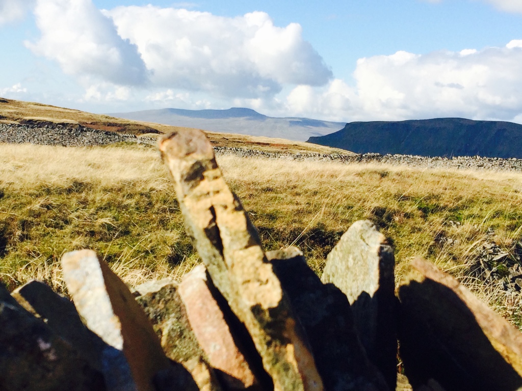
The gill vanishes into the limestone at the valley head and I follow the road until I meet the mighty Pennine Way, oldest and finest (if not longest) of England’s National Trails. Yes, that’s right, South West Coast Path – the Pennine Way is better than you. Deal with it. The Way pushes steeply straight uphill before sweeping east across the flank of Fountains Fell. At around 500m, the breeze picks up and I am suddenly, mercifully at a comfortable temperature. On the summit plateau, I take the stile over the boundary wall and pause for refreshment beneath the collection of cairns there. A masked bird catches my eye – on closer inspection it turns out to be a wheatear. It’s odd to see one at this time of year as they’re normally long gone. Is this a bird migrating from further north? Somewhere in the distance, a raven is calling a deep, throaty prrrrukk. To the west sit Pen-y-Ghent and Ingleborough. From this angle there’s something almost Scottish about them. They remind me of the hills of Sutherland; great, green whales frozen, petrified as they breach an ocean of moss. I follow the marked track to Fountains Fell summit and then onto the south top. Off in the distance, Cravendale glows in a thick shroud of fog, pearlescent in the reflected sun. As noted in my introduction, this is the only safe route on the plateau so I have to take a there-and-back route. This is boggy going and gaiters are a necessity. On my return to the cairns, I drop back over the boundary wall and handrail it for a short distance before re-crossing where it tumbles to ruins. From there I lope north east across open moorland to the plateau’s next drystone wall, which I follow toward Darnbrook Fell. There’s no track and the going is rough. The sun comes out and the breeze dies and hundreds of spindly ghosts take to the air: crane flies rising to mate.
At a junction with another wall, I slip through a gate made from a pallet to head up to Darnbrook summit. As the ground levels out, the wall becomes a fence. The trig point gleams whitely in the sun on the other side of the fence. If you’re tall(ish), practise yoga and really must tag the trig then virabhadrasana III will get you over the fence without touching it. Straighten your supporting leg! Stretch out through your back heel! Other things my yoga teacher shouts at me! Don’t try to return to tadasana before you swap legs. If you’re not tall(ish), I don’t know what to suggest. Personal trebuchet? The kindness of strangers? Not tagging the trig seems easiest. Erosion/deposition is a funny sausage though, and you can stand on any number of peat hags and find yourself higher than the base of the trig point. Away to the north east I can see Buckden Pike and Great Whernside flanking Upper Wharfedale. I return to the pallet gate and then keep on downhill, following the wall all the way down to the track above the southern bank of Pen-y-Ghent Gill. Again, this is tough going over uneven terrain. My calves are having a bit of a moan by the time I hit level ground. The track is a delight, though, and leads me gently and swiftly back down to the bridge at Litton.
Kit list:
In my pack (a Macpac Amp 25): Buffalo Belay jacket, OS OL Sheet 30, Silva mirror-sighting compass, Julbo sunglasses, Benchmade Presidio lock-knife, Marmot XT gloves, Petzl Tikka Plus 2 headtorch, Highgear AltiTech 2 altimeter, iPhone, coffee, water, flask of dhal, chocolate. And two carrots. They were for the fat ponies of Nether Hesleden. But they weren’t there, so I ate them. The carrots, not the ponies. I wore Garmont Vetta Mnt boots, Montane Vortex Stretch gaiters, Montane Terra XT pants, Montane Extreme smock. No baselayer this time. TK Maxx will have to take my money another day…


Pingback: Pen-y-ghent Gill loop, Littondale, 07/08/19, 11.2km | not really a llama